


Theme: The Voyage of Discovery Phase: Phase 1: Part 5 (Segment 1) Country: United States of America (USA) & Canada Language: English & French Unit of Currency: US dollars & Canadian dollars Location: USA: Maine and Pennsylvania | Canada: New Brunswick, Nova Scotia, and Prince Edward Island Year: 2015 Bucket list: Off-roading Prince Edward Island’s red dirt roads and Eating lobster from New Glasgow Lobster Suppers

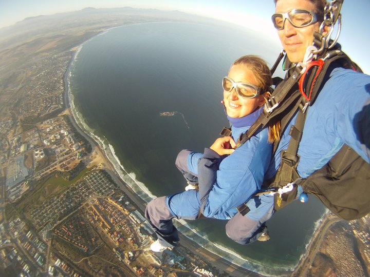
ADRENALINE:
- Driving and ferrying to Newfoundland & Labrador

With the upset of having my camera gear stolen on my last trip to Newfoundland and a dozens of souvenirs swiped out of my Jeep during that particular period, it was anticipated to re-visit the region of Newfoundland & Labrador. In order to not make this a “repeat” tour, we added in various new National Parks, UNESCO World Heritage Sites, and remote destinations that we wanted to visit along the way.

Ferry Route #1:
One of the ferry routes that was on our schedule was from Sydney, Nova Scotia to Channel-Port Aux Basques, Newfoundland.


- Experiencing the same rainstorm in 2 countries (USA and Canada)
As the journey progressed from the Eastern part of Maine in the USA and a border patrol visit within Maine and Quebec, Canada, a severity of rainstorms lit the entire East Coast. A 2-hour torrential downpour followed us into our final country destination.


- Exploring Prince Edward Island


Phase 1: Part 4 – Newfoundland & Labrador covered a portion of traveling in Prince Edward Island. The main agenda for this particular trip was to eat lobster at New Glasgow Lobster Supper, hike more of Prince Edward National Park, experience Cavendish with an emphasis on Anne of Green Gables, off-road on the red dirt roads laid before me, and stay at Charlottetown Backpackers Inn (HI affiliate).


Charlottetown Backpackers Inn:


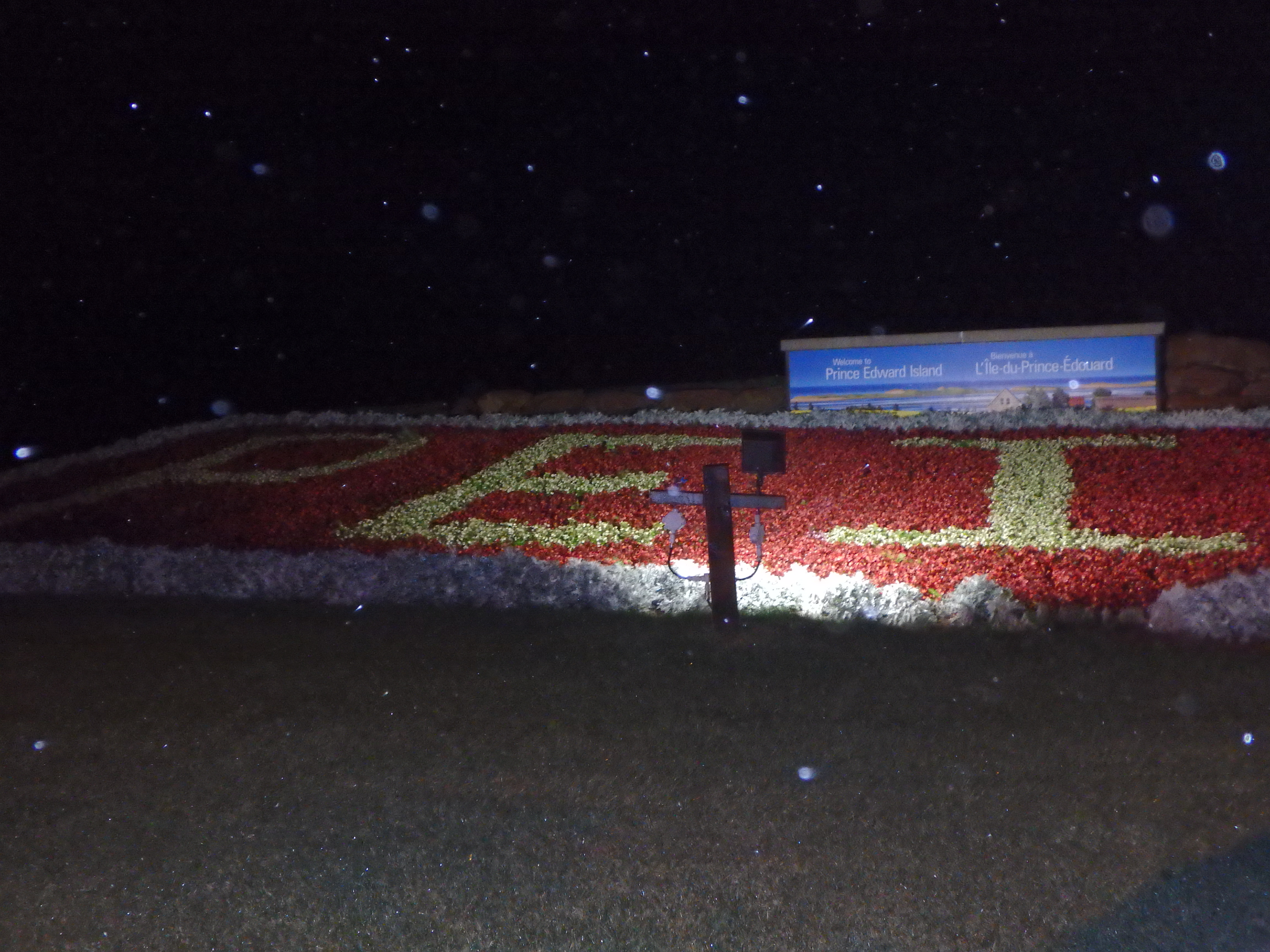
- Off-roading Prince Edward’s Islands red dirt roads

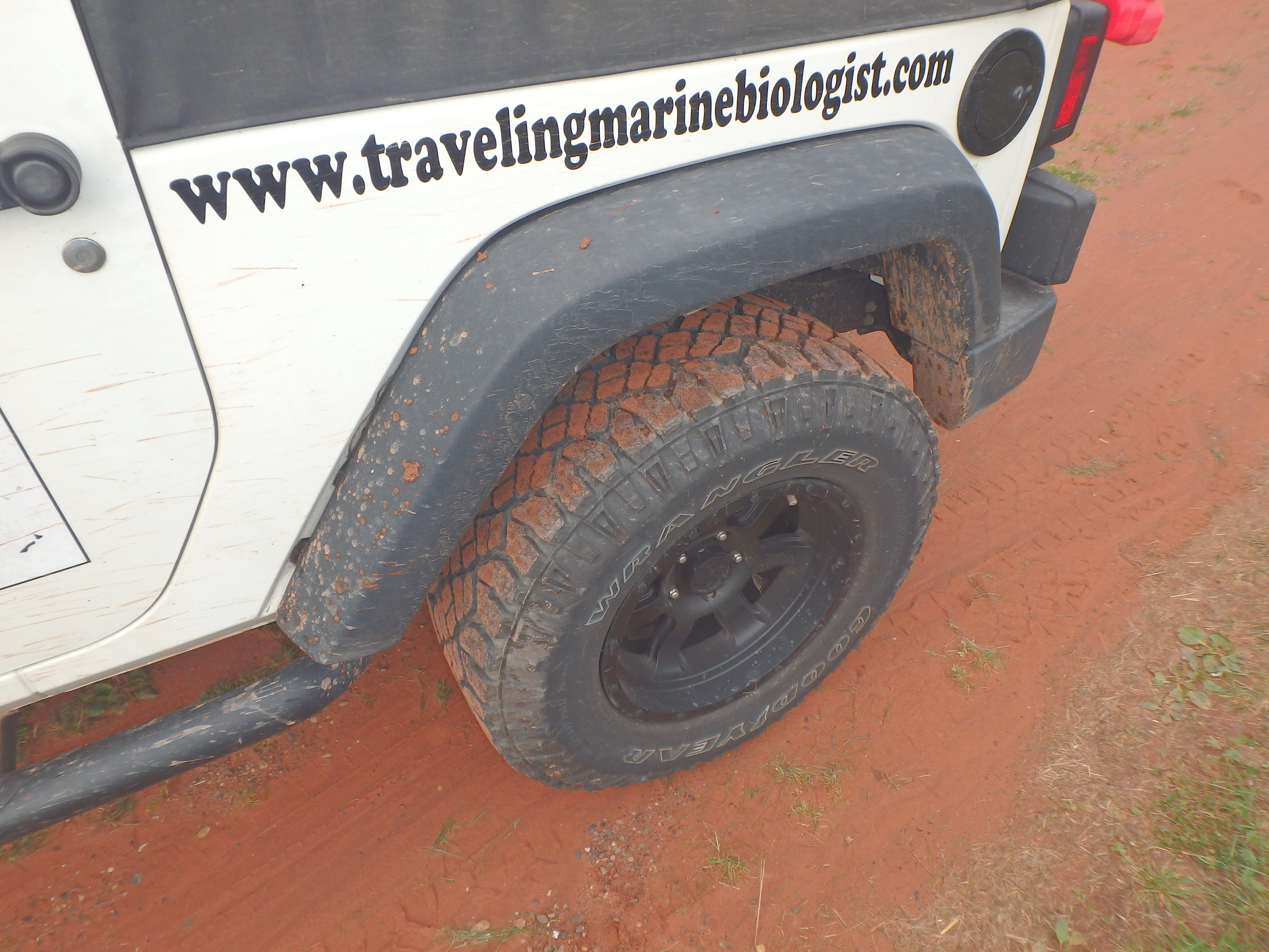
The red dirt roads were found in various parts of Prince Edward Island. In order to drive on these particular pathways, it was recommended to have a 4×4 (just in case you get too carried away, and find yourself deep within the trails). Once I reached Prince Edward Island many convenient store clerks explained that a “must do” was to find a handful of red dirt roads and explore them.


I jumped at the opportunity, and as soon as daylight hit Josh and I were driving around Prince Edward Island’s trails and back roads in search of these beautiful bright red roads that made the land of Prince Edward Island more appealing. I have to admit, I found myself deep within a few of the trails, and contemplated which way to drive since my GPS was barely functioning. In the end, it sure did make an excellent adventure!


These dirt roads led me to the coast of Summerside, where the red dirt has colored the water a deep coloration of red that stretched for miles.


CONSERVATION:
- Learning about the re-introduction of Salmon in Fundy National Park

The coolest experiences happen in the most unexpected moments. My brother, Josh, and I found ourselves arriving at Fundy National Park and talking to a young girl prepping for her Western tour to Vancouver, Canada. We had swapped a number of Canadian travel stories. She had recommended that we talk to Fundy National Park’s Coordinator, Patrick, once she discovered that I was a Marine Biologist.


Patrick was not your average park ranger, he was involved in a multitude of projects within the park and surrounding communities. Peregrine falcons, eels, and salmon were just a few species that he was involved with over the years. Josh and I were a few days shy of witnessing a reintroduction to salmon to the park’s waters. Between aquaculture methodologies and use of hatcheries, the 10-year project was one of the most widely known conservation projects on Canada’s Eastern coast. The re-introduction entailed trackers placed on salmon, 1,000 fish being released, and a research scientist monitoring the progress of the aquaculture and hatcheries. We want to wish their future success of the re-introducing salmon to the pristine waters of Fundy National Park!


The map and activities of Fundy National Park. We stopped by in the off-season, but were graciously welcomed by the park rangers and staff. Though a slight overcast was above us, the Bay of Fundy still looked beautiful and refreshing to dive into!


Fundy National Park was also known for its unique collection of fossils. The visitor center was cleverly engineered and included fossils (even in the interior fireplace) and stones that were collected within the National Park.


EDUCATION:
- Eating fresh lobster at New Glasgow’s Lobster Suppers in Prince Edward Island, Canada


Oddly enough, eating at this particular restaurant and trying one of the best lobster destinations was high on our bucket list. During the previous portion of the world tour in this region, we had anticipated to stop and eat here. Due to the newspaper article interview and a very late visit to Prince Edward Island National Park, we promised each other that we would come back here in the near future when time permitted.

Fast forward to that present day, our timing could not have been better. It was the very last day for the New Glasgow Lobster Suppers and in return, the manager of the restaurant heard about the world tour, “The Voyage of Discovery,” in their local newspaper and offered a visit to their pound where they kept and cooked the lobsters.

The Suppers included dinner rolls, garden salads, potato salad, seafood chowder, buckets of steamed mussels, lobster (price dependent on 1/2 lb – 3 lb), and dessert (i.e. pumpkin pie, strawberry cheesecake, and ice cream).


After the Suppers, we were escorted to the pound where a young chef had told us about his summer working in the pound and described the thousands of lobsters they had gone through during their tourist season. I had asked him where the “leftover” lobsters in the pound will be sent after the restaurant was closed for the season. Majority of the lobsters will be re-sold throughout Prince Edward Island, with a focus on Charlottetown and the surrounding larger towns in the area.


- Exploring Canada’s oldest fishing village, Lunenberg – UNESCO World Heritage Site


Lunenburg was a Canadian port town in Lunenburg County, Nova Scotia. Situated on the province’s South Shore, Lunenburg was located on the Fairhaven Peninsula at the western side of Mahone Bay. The town was approximately 90 kilometres southwest of the county boundary with the Halifax Regional Municipality.


The sight of brightly colored houses, the smell of fish lingering in the wind, and a mild taste of salt water in the air all caught my attention when I first arrived in Lunenburg. The afternoon’s tide was low, and i reached an area on the water with boats soaked in mud and seashells vibrantly reflected in the puddles of water. The view of the restaurants and pubs from across the lake was breathtaking, an array of color shot across the water. I could have easily stayed here and photographed this beautiful fishing village all day.


In the mist of this fishing village, we even stumbled upon a piece of the Berlin Wall! 


- Photographing Kouchibouguac National Park


- Tasting different organic hot chocolate drinks in Nova Scotia, Canada

The land of Grand-Pré was known for its heritage, culture, farm land, and kindness of those that thrived there. When I first entered Grand-Pré, farmers on tractors and on the side of the road happily greeted us. A sign read, “Just Us!” hung over a small building.


The shop was unique, with a decor of diversity within coffee, tea, and chocolate products. Their motto was, “People and the Planet before Profits.” Just Us! focused on small-scale organic coffee farmers around the world and conscientious consumers in Atlantic Canada and beyond.


The staff was very sweet, and I would like to give a shout out to Acacia, a local Acadian university student whom expressed her love for travels and coffee.
And, well, the hot chocolate diversified from milk, peppermint, spicy, or dark. It was recommended to try a milk hot chocolate, and it was absolutely delicious!


Before departing Just Us! coffee shop, a map of Grand-Pré was hanging up on the building. Not only was Just Us! a delicious experience, but it was also an educational one as well! We left and was excited to explore Grand-Pré!


- Visiting Grand-Pré National Historic Site


Grand-Pré:


- Visiting DeLorme’s Map Store in Yarmouth, Maine

The idea once I finished my project in Colombia was to quickly start driving North to Quebec, Canada. After a spontaneous last-minute decision to night drive North, the odds of stopping for longer periods of time in the states were limited due to an urgency to visit Miguasha National Park during open hours.

To my surprise, I pulled over in one of Maine’s New England Style’s main streets to fill up the gas tank before proceeding to Quebec. After driving for a few minutes, I noticed a sign that read “Map Store” and a brick building stood out in the distance.

The three-story glass atrium that enclosed a ginormous globe on the first level also was not hard to miss! After spending a few hours learning more about Eartha, the GPS products that have not reached the market yet, geocaching, and other cool mapping software, I found it difficult for my brother, Josh, and I to leave this unique place. The staff was attentive, and asked us many questions about the world tour. I finally found a safe haven where I could discuss traveling non-stop!


 DeLorme’s Map Store (known for the leader in innovative mapping and GPS products) housed a rotating globe, according to Yahoo! Travel was “The world’s largest rotating globe can found be in an appropriate place; the headquarters of famed mapmakers DeLorme in Yarmouth. It even had a cool name: Eartha.”

A few of Eartha’s attributes:
1) The Guinness World Record Holder – Eartha is a 3-dimensional scale model of our earth with mountains and landforms in full 3D, that rotates and revolves, simulating the earth’s real movements. Eartha was given the title of “World’s Largest Revolving/Rotating Globe” by the editors of the Guinness Book of World Records in 1999, and still holds that record today. It measures 41.5 ft in diameter. Unveiled July 23, 1998 Eartha took two years to build and represents earth as it is seen from space. It rotates and revolves on a specially designed and built mechanized, cantilever arm.

The Data – The mapping data, which took over a year to compile, is completely unique. It is a special composite database built from satellite imagery, shaded relief, colored bathymetry (ocean depth data) and information from terrestrial sources, such as road networks and urban areas. The printed Eartha database is equivalent to about 140 gigabytes (or 214 CD-ROMs), making it one of the largest in the world! Its scale is 1:1,000,000, which works out to be one inch equaling nearly 16 miles. At this scale, California is three and a half feet tall!
Eartha took two years to build and represents earth as it is seen from space. Every continent is beautifully detailed, with vivid colors illustrating all levels of vegetation, major roadways and cities. Ocean depths are also completely represented.


FLIGHT PLAN:
After prepping this segment of the world tour for the past few months, it was planned to arrive back in the states after my project in Colombia had finished.
This is what I wrote on Facebook in light of the upcoming tour:
“The next helicopter that lands on the ship is mine! Helicopter ride to Barranquilla and flights BAQ-BOG-MIA-CLT-MYR!
On the road to Canada tomorrow night! Stoked to head back to Newfoundland & Labrador! “
